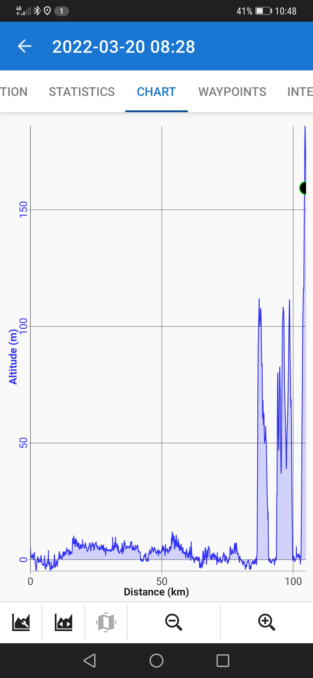
21/3/22, Day 105, 105km, Total 2935km
Elevation Gain: 1092, Loss: 1138m
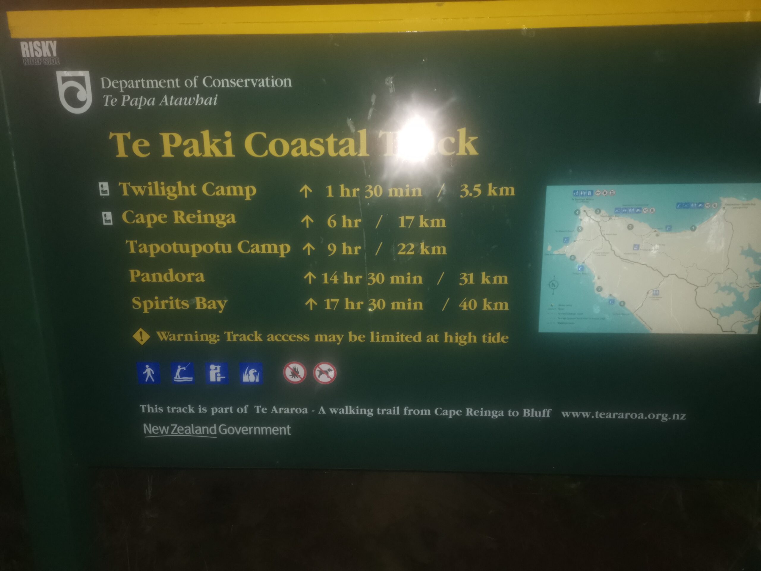
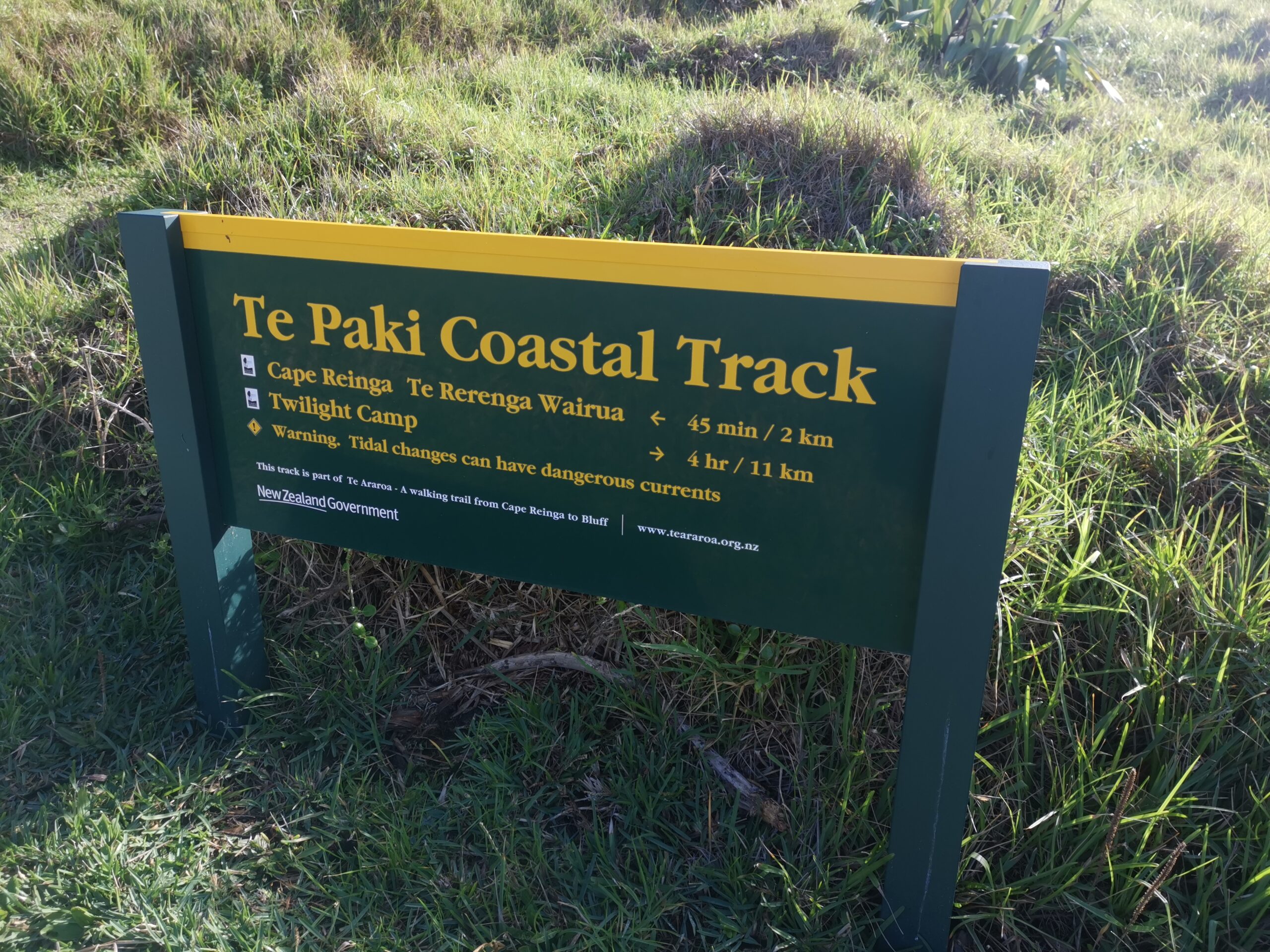
I was so grateful to arrive at the end of 90 Mile Beach. Only 16km to go to the Cape. It took a few moments to find the DOC sign that was at the start of the climb up and over the hills to Twighlight beach. I had to use the headtorch momentarily to read the sign and then to find the steps. This was at 4.00am and I was feeling rather trashed. Fortunately the steps were good and the climb was only 120 metres vertically. The moon was bright enough that I was able to walk to Twilight Camp without my torch although there were a few stumbles on the downhill bits. It can be hard to judge how far my foot needed to go down with the shadows playing tricks on my brain.
Only an hour for the 4km to the Twilight Camp. Things were looking promising for completing the challenge inside the 24 hours. I stopped for 20 minutes to eat and drink. There were a couple of tents at this camp too and one was right beside the shelter. I didn’t hear a thing from it’s occupants. If they heard anything at all they probably thought I was a possum.
The 3km walk of Twilight beach disappeared in no time. Things were looking good. But sure enough at the end of the beach there were no markers to be seen. Undeterred – nothing was going to stop me now, I search back up the beach a bit without finding an obvious track. So I did what I have always done for the last 6 months and followed the yellow line on the TA GPS App on my phone. This required some scrambling through scrub up a steep hill. Still no sign of the track but my fogged brain figured that I would soon find the track if I continued on the yellow line. Big mistake. After much cursing and a lot of scrambling through horrible scrub I did arrive at the official track. It took 1.5 hours for the 1.5km. Probably the hardest 1.5km of the whole 300km of trail. Was I ever pleased to see that track. Also the sun came up when I was halfway through that scrub section which made it much easier to pick a less scrubby route.
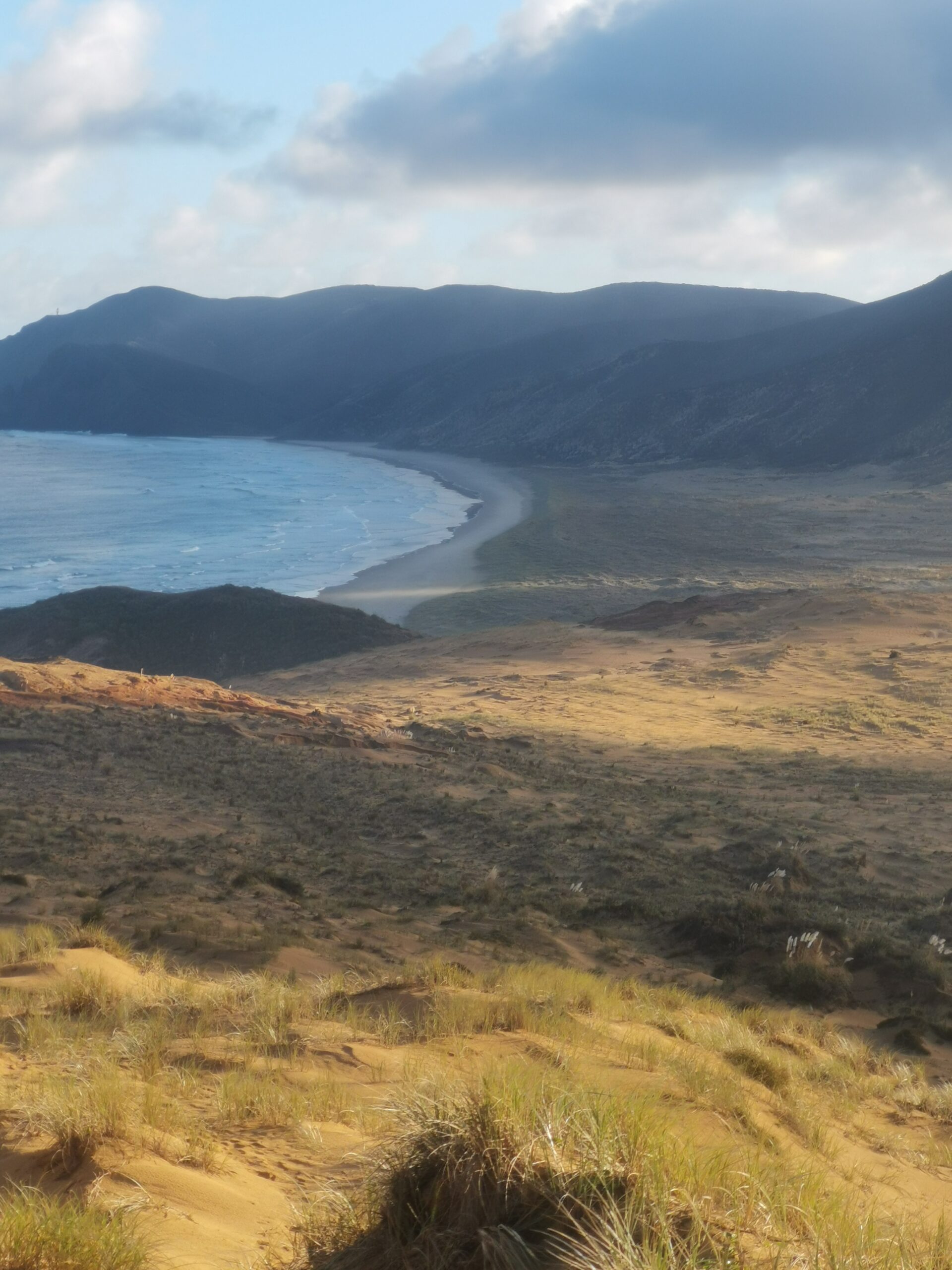
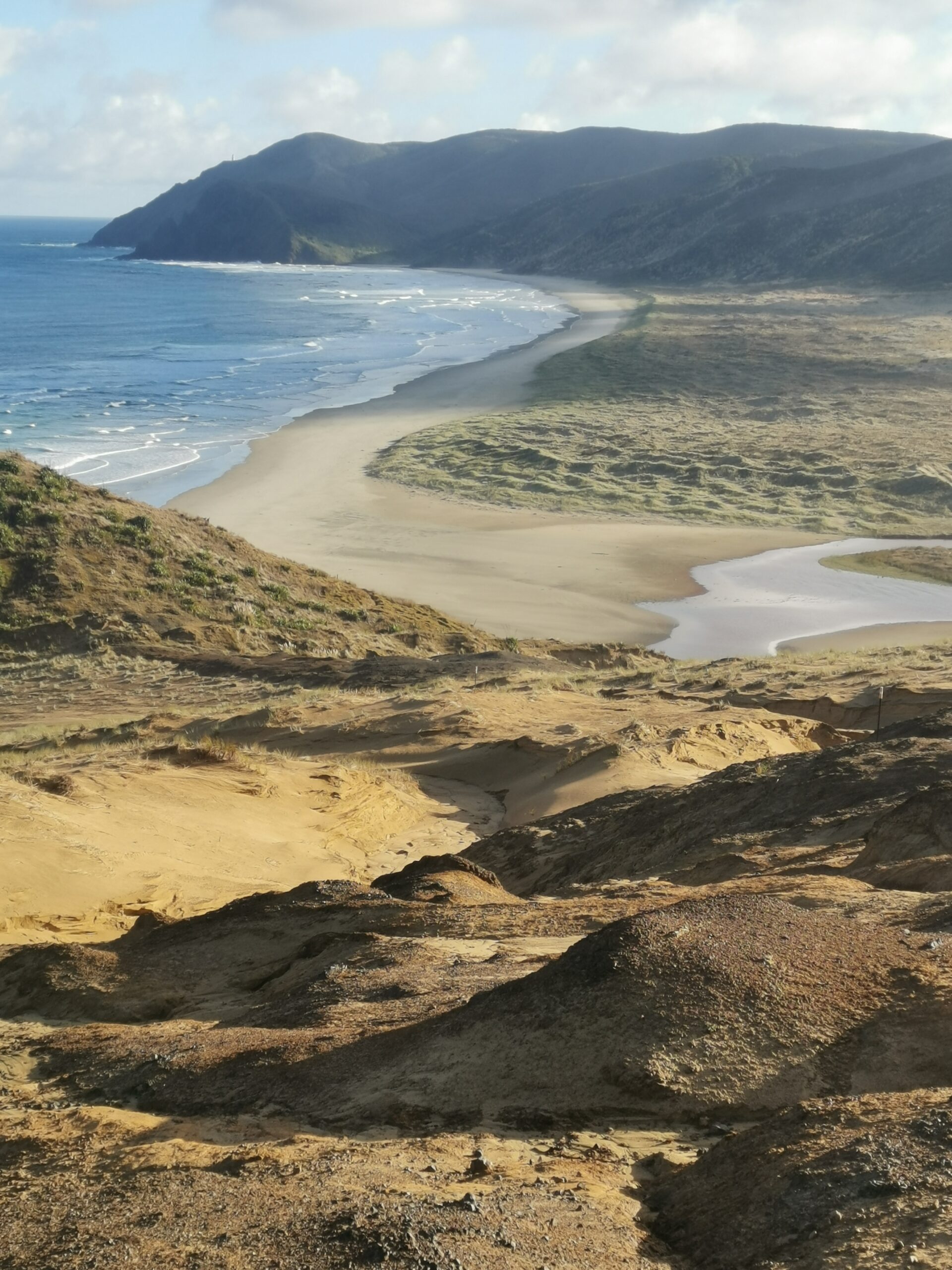
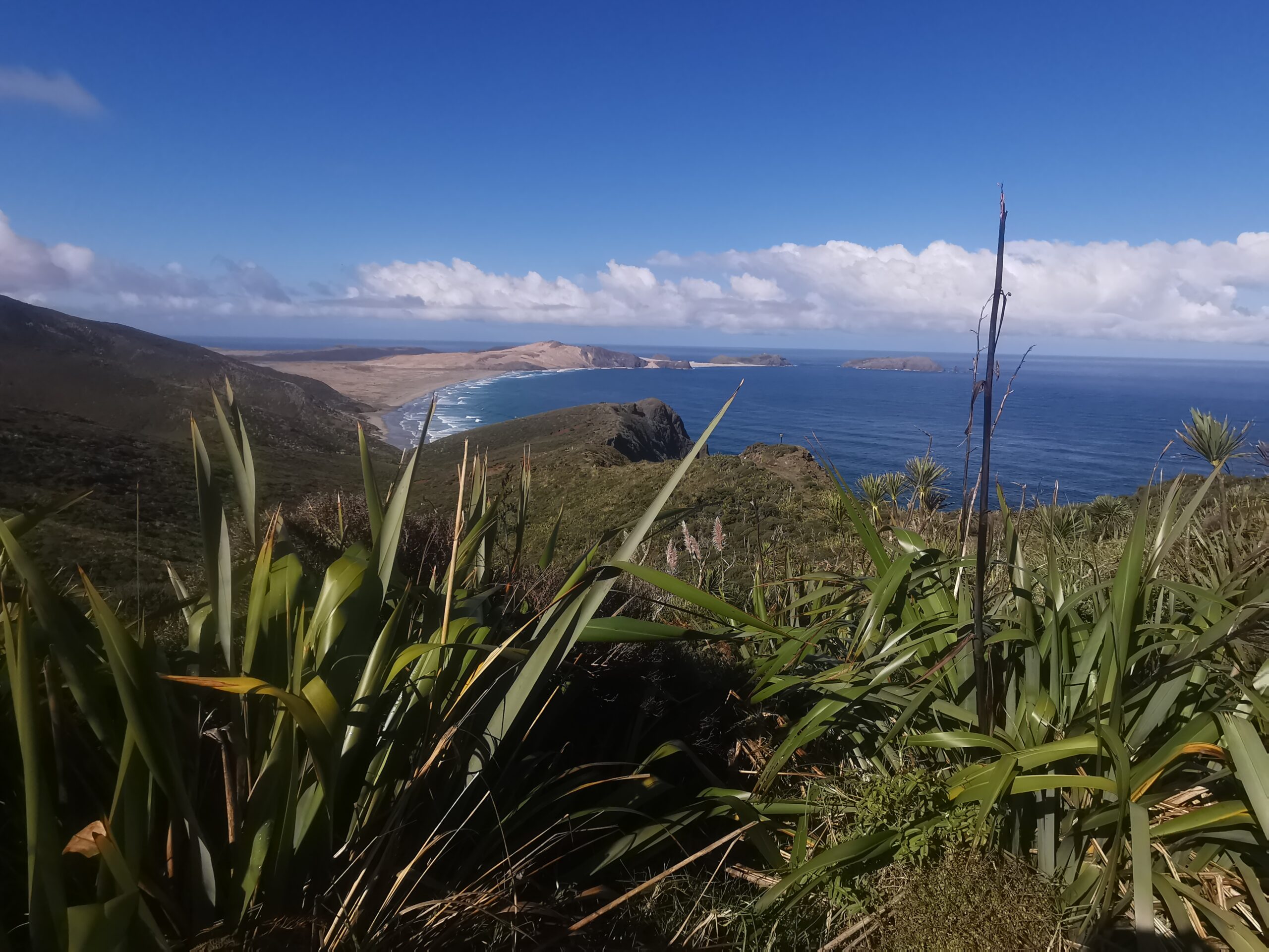
Then it was an easy track over another hill, along another 3km beach and up the hill to the Cape. Easy right? No. I knew there was a turnoff on this track but when I came to it the junction was not obvious. All I could see were marker posts heading downhill to a beach that I knew I had to walk along. That had to be the way. Well 1km later I checked the app (that had only once let me down but I still trusted it) to see that I was headed on the track to Cape Maria Van Diemen. A major “oh crap” moment. Of course it was nice to see that Cape up close but not what I needed right then. Back up the hill I trudged somewhat surprised that even in my current exhausted state it seemed easier to climb hills than it did six months ago when I started this TA journey. But then maybe it was the lightness of the pack that allowed me to climb the hills so easily.
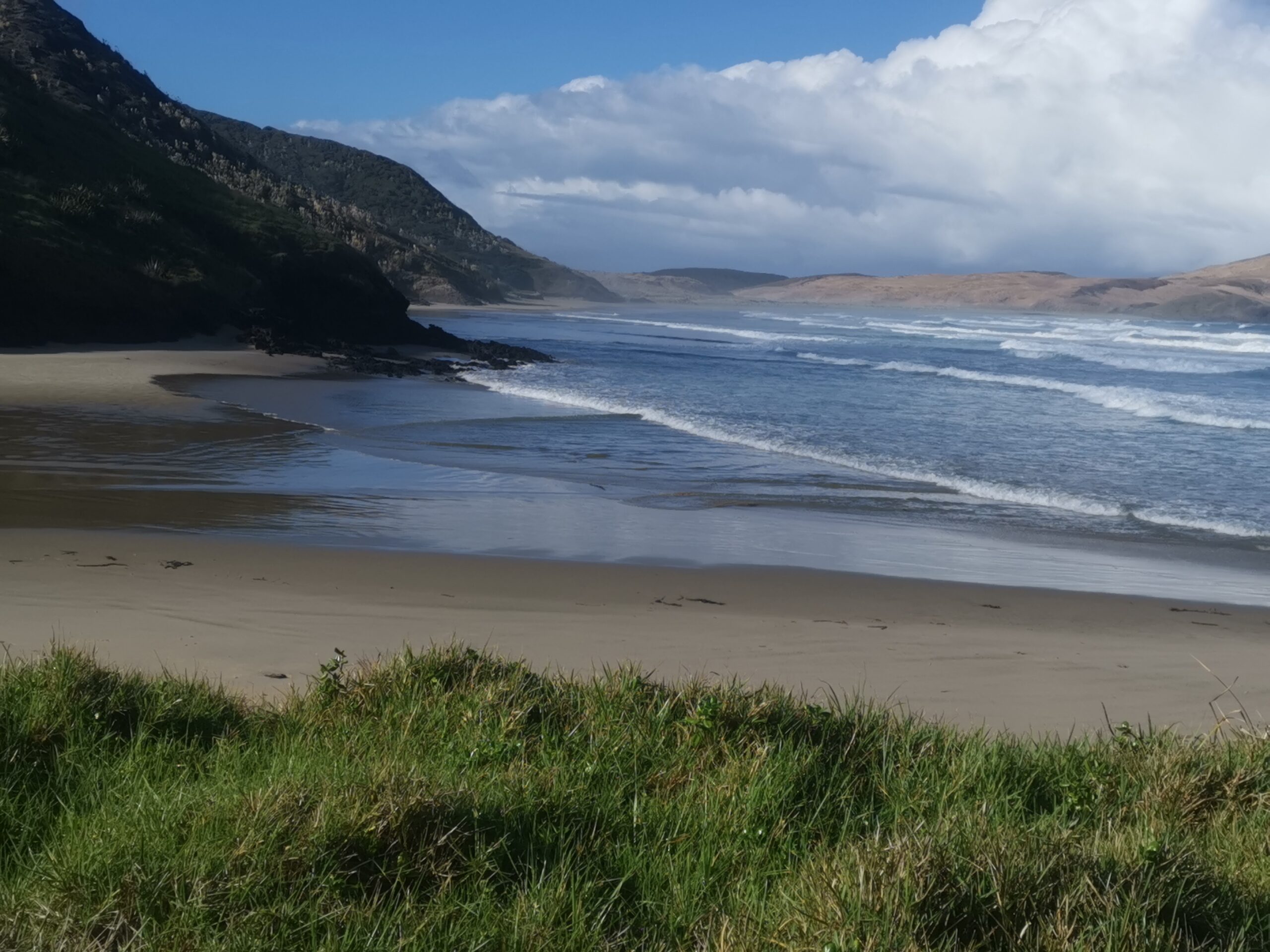
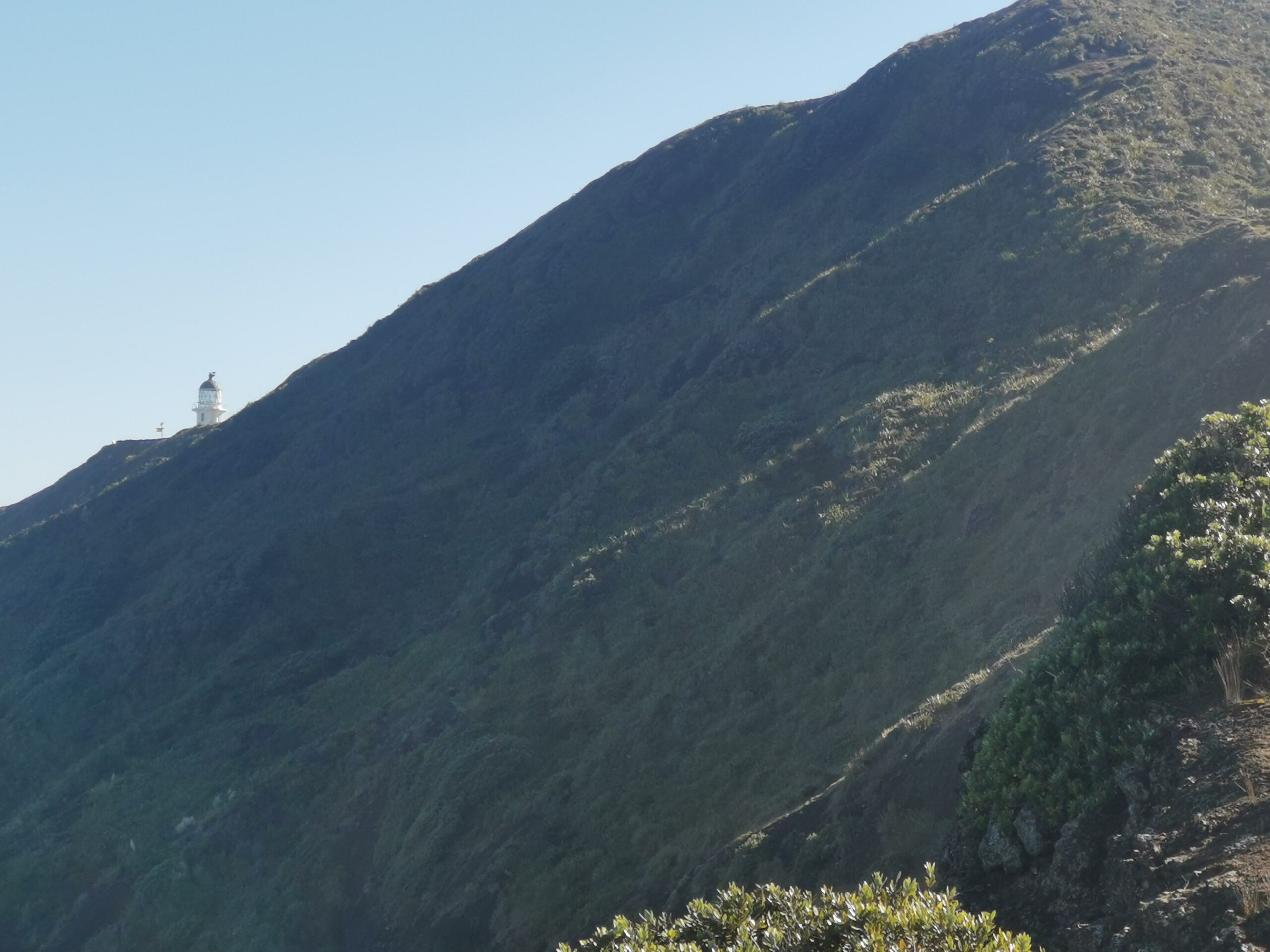
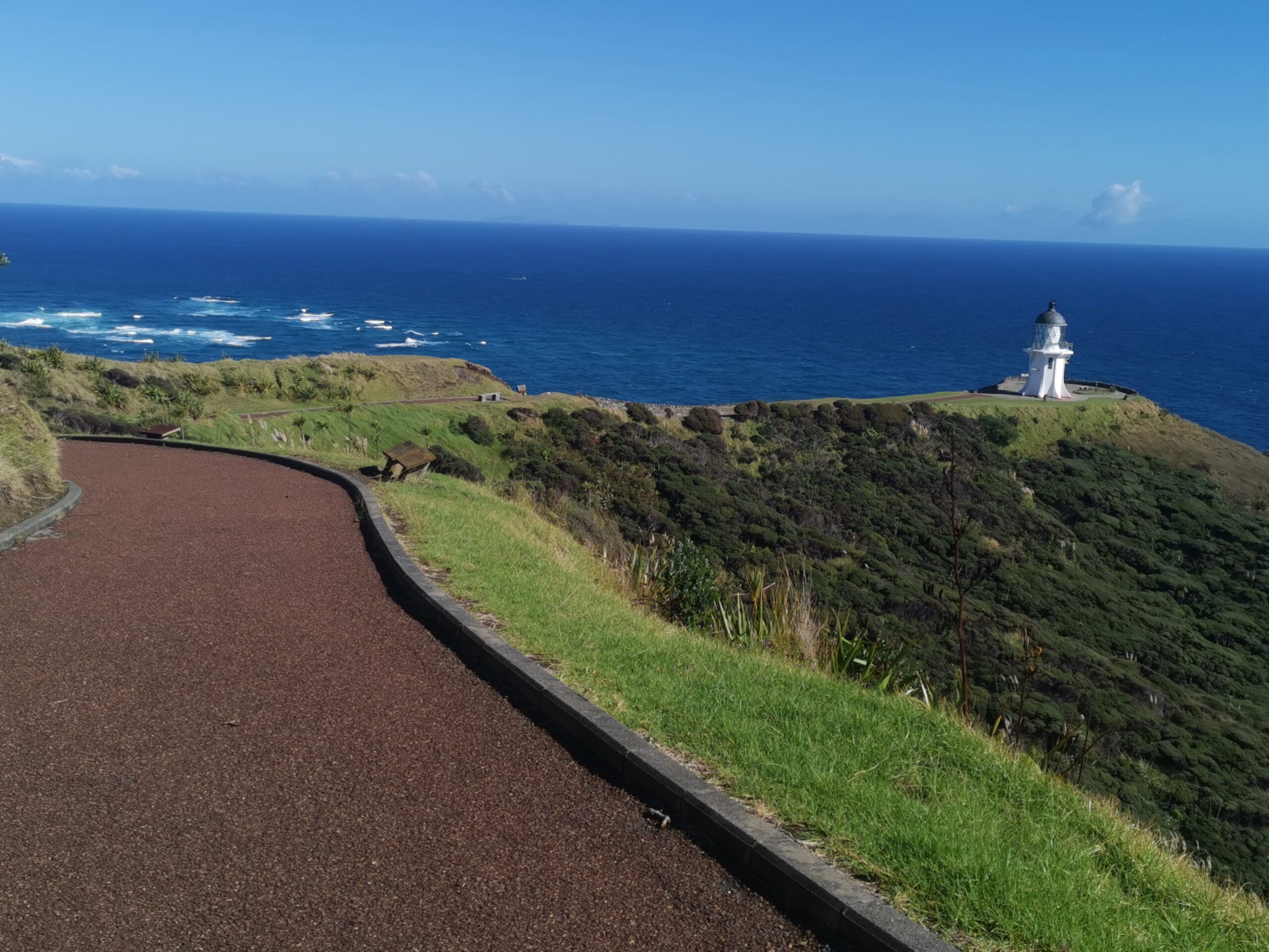
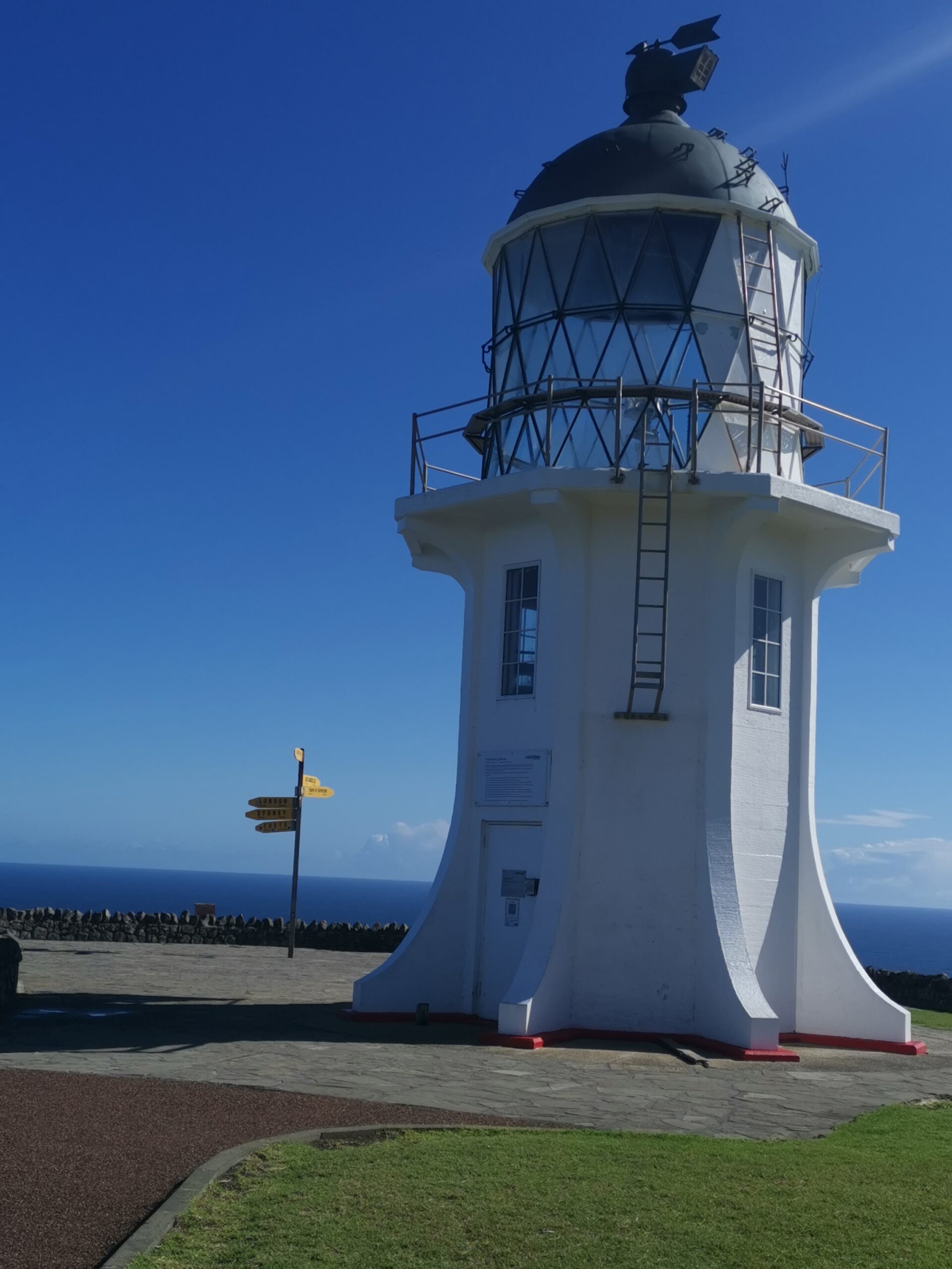
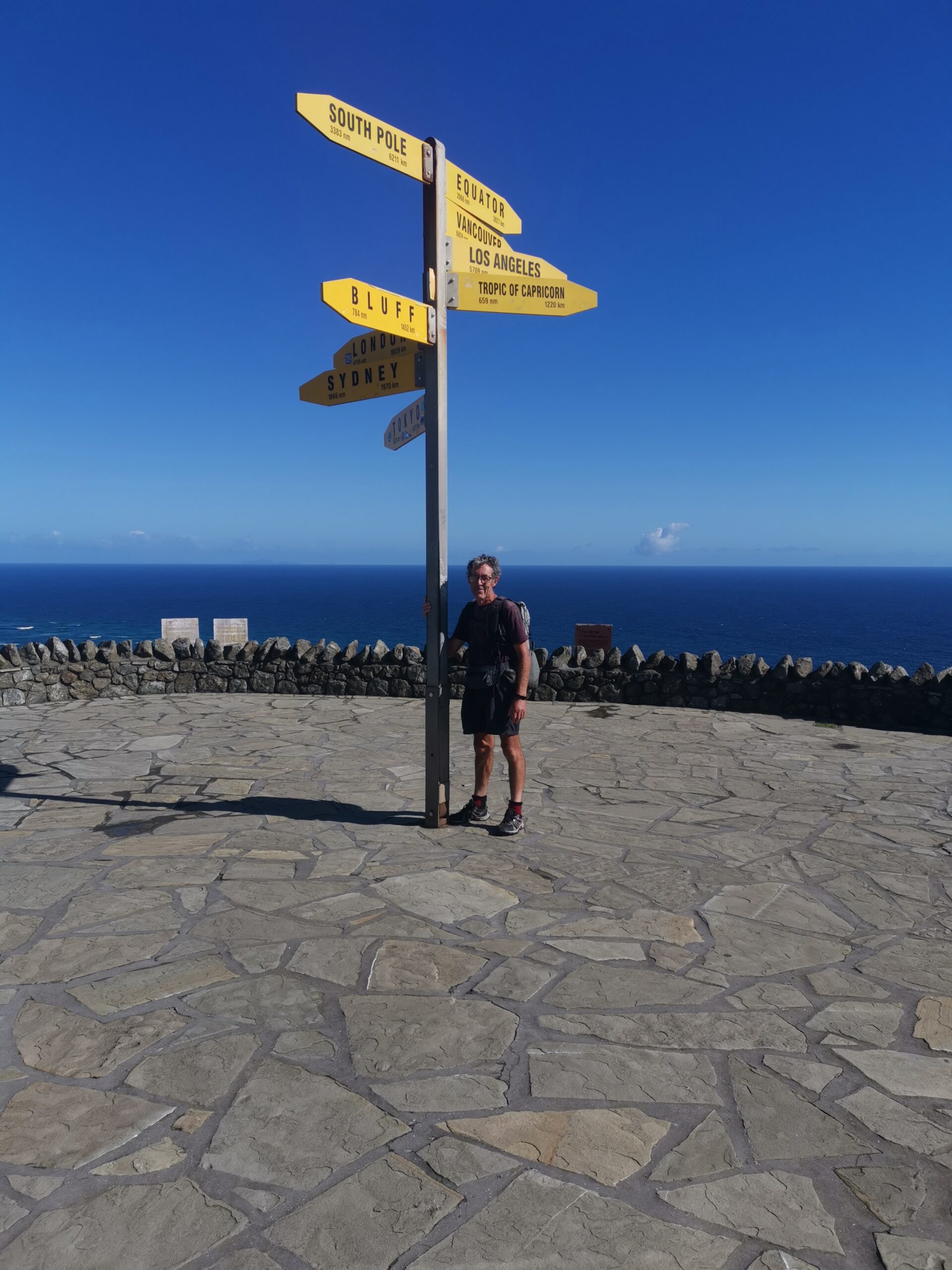
Eventually the final beach appeared preceded by a final river crossing – an easy crossing, thank goodness. Then up the hill to the track and down to the lighthouse for the official end point. Fortunately some tourists were there to take the photos for me then the long trudge up to the carpark where Len was waiting in the car.
I had made it. Somehow I managed to stay awake until we got back to Kaitaia then cleaned the sand out of most of my orifices in a nice hot shower. A couple of hours sleep followed by what I thought to be a well earned few beers. They tasted really good.
I’ll do another blog post on my post-hike thoughts.